MAPS AND IMAGES
Click on each image to enlarge.

This image shows von Kármán vortices triggered by the presence of Socorro Island. These spiral patterns are created when the fluid flow is interrupted by an object, in this case an island. This image was captured by NASA's Aqua satellite using MODIS on May 22, 2013.

This image also shows von Kármán vortices triggered by the presence of Socorro Island. These MISR nadir-camera images were captured on April 23, 2000 and May 9, 2000.
This map displays the water depth of the ocean surrounding Socorro Island.

A land cover map shows the composition of the land of a specific region. In the case of Socorro Island, the land consists of grasslands, open shrub land, mixed forests, cropland, deciduous needleleaf forest, and evergreen broadleaf forest.

An aerial image of Socorro Island.

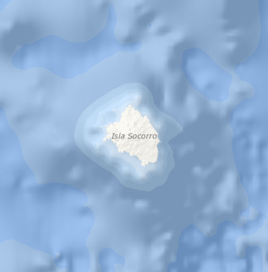
A satellite image of Socorro Island.

In this surface elevation map, Socorro Island is shown not to exceed 1,443 feet. The summit of Socorro Island is at 1,050 feet.
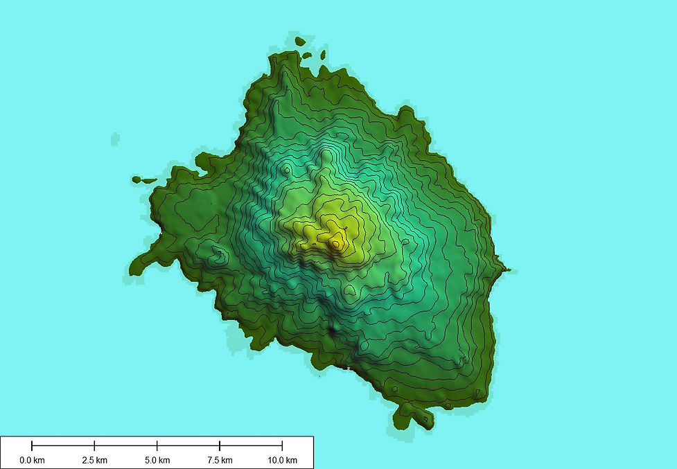
A topographic map is a two-dimensional representation that displays contour lines to show an area’s elevation, slope, and relief. This map of Socorro Island has contours at intervals of 50 meters added to a NASA image from their Shuttle Radar Topography Mission.

This is a Landsat image of Socorro Island.